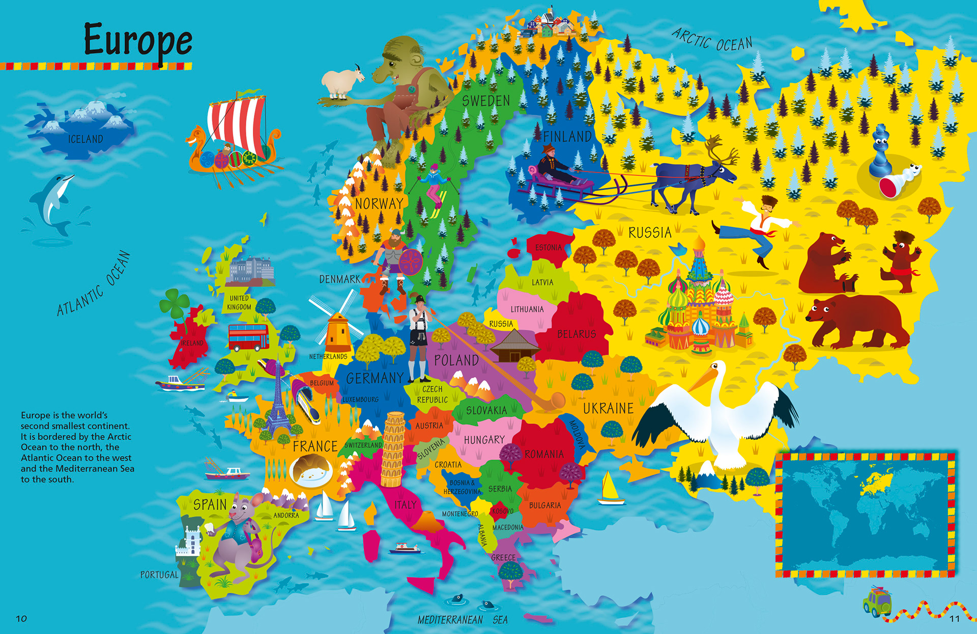
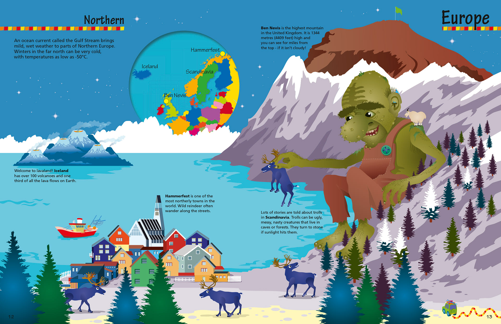
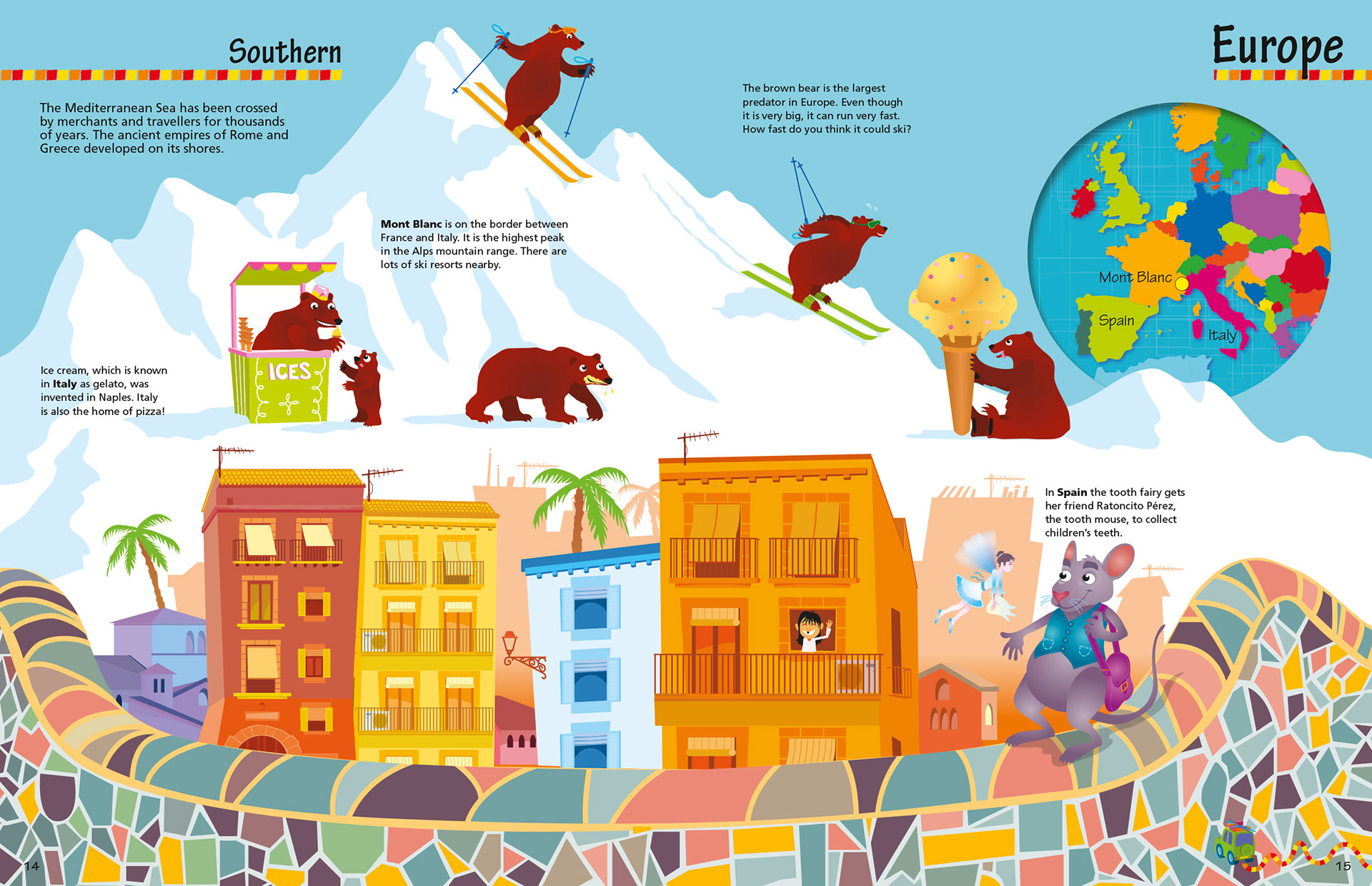
Below are the European pages of the new Collins Picture Atlas. They include a map of Europe and then two 'essence' spreads with interesting facts about the two regions of Southern and Northern Europe.
For the two 'essence' spreads I was aware of them being different in the warmth of light an tried to make these regions visually different from each other using colour. Purple, blues and greens for the cold Northern Europe and more yellow's, oranges and reds for the more Mediterranean Southern Europe.
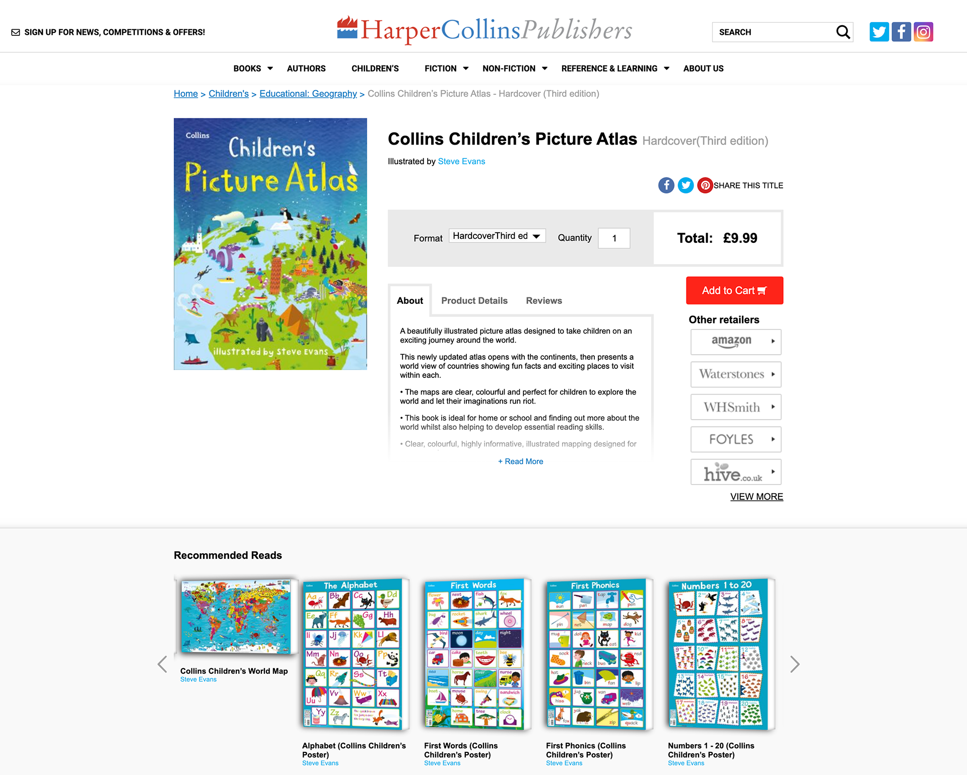
You can order the book here: https://www.harpercollins.co.uk/9780008320324/collins-childrens-picture-atlas/ as well as the posters that go with the series.